Jono Millin
Enterprise
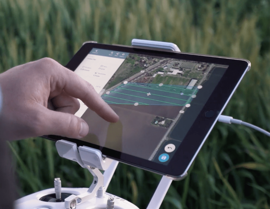
With DroneDeploy’s Fieldscanner, pilots can create maps as they fly
7:41 am PDT • April 18, 2017
Flying drones to inspect a farm, construction site, or any other venue from overhead can generate a huge amount of data. It takes time, though, for drone users to upload…