Back in 2008, the Google Maps team launched Ground Truth, a project that aims to bring together all of the potential mapping data Google has and local volunteers to build the most accurate maps it can. The project started small, but as Google announced today, with the addition of Taiwan, Malaysia, Poland and Romania — as well as some regions of Russia that weren’t previously supported — the project now covers 50 countries.
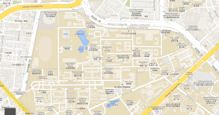
This means these countries now feature significantly more detailed maps that include things like walking paths for pedestrians and turn restrictions for drivers, as well as more detailed maps of university campuses, for example.
With Ground Truth, Google combines authoritative data from governments and other organizations with the data it gathers itself through Street View and satellite imagery (and then runs through its computer vision algorithms). After that, there is also still some manual work involved to correct mistakes and add information that isn’t otherwise available.
Here is a closer look at how Ground Truth works:
Google is also launching its Map Maker tool for crowdsourcing mapping data in Russia, Taiwan and Malaysia today. Map Maker was already available in Poland and Romania before, and Google notes that the volunteer mapping communities there were instrumental in getting the base maps for these countries online.