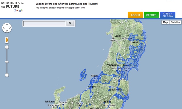
In July, Google announced that it would be sending its Street View cars through the areas of Japan stricken by the March earthquake and tsunami. Today the work of stitching and annotating is finished and the data is available to be browsed like any other Street View location on a special website they’ve called “Build the Memory,” though it is also labeled as Memories for the Future.
A little clicking around brought me to several affecting sights, for instance a tranquil playfield converted to an enormous debris dump near Sendai. The location they feature in the blog post also really allows you to see the devastation at close range. However, I also came across quite a lot of old imagery in the “after” tab; perhaps a curated tour of some of the areas with new photography could be added.
Google also used the occasion to roll out a minor feature, a timestamp on the corner of every image letting you know what month and year it was taken. No date or time, unfortunately. This information should be available throughout Street View now.
These Maps team special projects are always interesting and are probably good practice for Google to flex its logistical muscles. This kind of information is extremely valuable and while Google is happy to give much of it away, it’s also a demonstration of what they’re capable of that no one else is. The rapid deployment of rich, targeted information is Google’s specialty, and when only they can provide it, it is to Google that companies and governments will come when such a task becomes necessary.