The football season may be over, but with 202 days to go before the next NFL game kicks off again, Google today announced that it has brought its Street View cameras into the Indianapolis Colts’ Lucas Oil Stadium. The new 360 degree imagery, Google Maps product manager Evan Rapoport writes, is “another example of how we’re working hard (and having fun!) building the most comprehensive, accurate and usable map of the world — complete with imagery from inside your favorite sporting venues.”
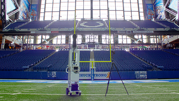
If you really love the Indianapolis Colts then (and given that I know nothing about football, I’m not sure how people feel about them), you can now “march out of the tunnel and down the field towards the end zone, just like Andrew Luck did all season.” Also included in the tour is a visit to the Colts’ locker room, the stadium’s three concourses and a number of suites, including the Quarterback Suite (a semi-private 200-seat “party room”), a Field Level Suite and a Loge-Level Suite (you can also just explorer all the empty beer and pretzel stands in the stadium, of course).
Because most people probably don’t search for “Lucas Oil Stadium,” despite the fact that the company paid $121 million for the naming rights, Google points out that you can also just look for “Colts Stadium” on Google Maps in your browser, on Android and in the iPhone app to see this new imagery. It’s not clear if Google plans to add more football stadiums to its collection any time soon.
For Google, of course, this isn’t the first stadium it took its street view cameras to. Before the 2010 World Cup in South Africa (where they played real football), Google introduced imagery of all of the stadiums on Google Maps. It has also driven its cameras around various race tracks and, most recently, into the Olympic venues in London.