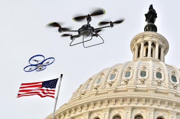
The last few months have seen an escalating series of incidents in which the harmful elements of drones have loomed large in the public eye. In April, rumors of a coup in Saudi Arabia flared after a recreational drone was shot down when flying into an unauthorized zone in the capital. August saw a drone attack on the president of Venezuela. In late December, 10,000 flights carrying 140,000 passengers were grounded over the course of 36 hours at Gatwick Airport in the United Kingdom. In the months since, a number of airports, ranging from Dublin to Dubai, have experienced delays on account of drone activity. The Gatwick incident alone is estimated to have cost the aviation industry as much as $90 million.
While these are spectacular incidents, they speak to the growing ubiquity of drones. Perhaps even more telling than those events were the efforts that authorities put into air security for the Super Bowl. In the days leading up to the event, PBS reported a “deluge” of drones despite a ban on their presence in the airspace around the stadium.
These incidents underline the conclusion that mapping the skies — as well as policing them — is moving from the theoretical to the practical. Just as Google took the noise of the early internet and arranged it into something comprehensible and navigable, so we need to organize and understand the sky as drones become a growing part of civilian life.
Most of the examples I outlined above are “bad drone” problems — problems related to drones that might be hostile — but understanding what entities are up in the air is critical for “good drone” problems too. While drones have risen to prominence primarily as threatening entities, they’ll soon be central in more benign contexts, from agriculture and weather forecasting to deliveries and urban planning. We could soon pass a tipping point: In early 2018, the Federal Aviation Authority (FAA) announced that their drone registry had topped 1 million drones for the first time. While most of those were owned by hobbyists, the agency expects commercial drone numbers to quadruple by 2022. At some point, it’s going to be vital that we have systems for ensuring “good drones” don’t crash into each other.
We need to organize and understand the sky.
For comparison, the FAA reports that in the U.S. there are around 500 aircontrol towers coordinating 43,000 airplane flights a day, with up to 5,000 planes in the sky at any one moment. Some 20,000 airway transportation system specialists and air traffic controllers spend their professional lives keeping those 5,000 planes from bumping into each other. Consider, then, the effort and resources required to prevent potentially hundreds of thousands, or even millions, of concurrently airborne drones from colliding. This a big problem with real stakes.
Countless companies have emerged in recent years to tackle the challenge of organizing this ecosystem. Significant investor capital has gone into different approaches to making sense of a sky filled with drones, from point-sensor solution providers such as Echodyne and Iris Automation to drone management systems such as Kittyhawk, AirMap and Unifly. “Bad drone” solutions ranging from lasers and ground-based bazookas to malware and enormous net shields have cropped up.
The most exciting approach, however, is a unified one that addresses both “good drone” and “bad drone” challenges; one that maps well-intentioned drones and defends against nefarious ones. In this case, knowledge is the first step to understanding, which enables suitable action. In practice, that means we need to start with a firm data layer — typically gathered through a radar detection system. That data layer allows practitioners to determine what and where entities are in the air.
With that data in hand, understanding the nature of those entities becomes possible — specifically, if they’re benign or malicious. That designation enables the final step: action. For benign drones, that means routing them to the right destination or ensuring they don’t crash into other drones. In the case of malicious drones, action means mobilizing one of the exciting solutions we mentioned above — malware, lasers or even defensive drones to neutralize the potential threat.
A full-stack approach is helpful for formulating a seamless response, but the most important element is the data layer. It’s still early days in the mainstreaming of drones, but there’s great value in getting a headstart on creating the infrastructural and security framework for when that moment arrives. Gathering data now gives us more of a baseline for drones in the future. It also allows new entrants to offer solutions on top of that foundation. Moreover, there are strong positive externalities at work here: As with cellular networks 25 years ago, the decision of early adopters to adopt detection and defense systems benefits others who are slower to move. When Gatwick puts that infrastructure in place, Heathrow benefits.
Ultimately, there are as many — if not more — reasons to get excited about solving the problem of drone-filled skies as there are reasons to be concerned about their negative implications. Creating the rails for what Goldman Sachs estimated will be a $100+ billion market is a tremendous opportunity. The sooner we plan for the positive implications of drones in addition to their malicious potential, the better.