Parrot today announced packages for its consumer drones aimed at small businesses. The company has long served the professional market, but this announcement repositions the Bebop and Disco drones as off-the-shelf solutions for 3D modeling, mapping and agricultural uses. After all, drones are most interesting as data capture devices and this move by Parrot reinforces their abilities outside of just taking aerial photographs.
The company says it identified these professional activities as the best suited to take advantage of Parrot’s drone offering.
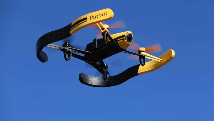
The Bebop and Disco addresses different markets as they’re fundamentally different drones. The Bebop is Parrot’s quadcopter drone and will now be available with 3D mapping software for $1,099. The company says this makes the drone perfect for real estate and construction as the drone, combined with the Pix4Dcapture app, can automatically capture and create 3D models.
The fixed wing Disco drone will be available with an array of apps and attachments that addresses the needs of farmers. When used properly, the Disco can autonomously can produce a complete an accurate visible and invisible multispectral image of crops. The little drone can fly over and map nearly 200 acres in 30 minutes. This package will cost $5,000 when it’s available in June.
Parrot and other consumer drone companies are finding that their products are being used for more than their intended purpose. By repackaging the drones and bundling them with the right software, Parrot is wisely making the drones more accessible to the small businesses best able to take advantage of areal data gathering.