If you intend on delaying your gift-buying to the degree that you have to 3D print a few just before go time, you’re in luck. This easy to use little tool lets you quickly select, customize, and print out a tiny topographical map of anywhere in the world.
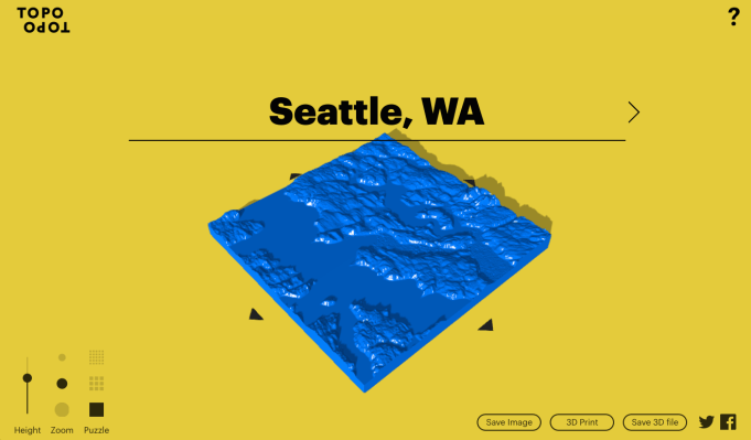
TopoTopo, as it’s called, is pretty easy to grok. Put in a location and it loads right up; adjust the zoom and height (a multiplier of actual altitude, for emphasis), then select whether you’d like it whole or sliced into square puzzle pieces
Then you have your choice of downloading the resultant 3D model or having it printed at Shapeways. That’ll run you somewhere north of $40, though, so you might want to just bring it to your local maker space.
The service is from design agency Hush; it gets its mapping data from Google its topographical data from the Shuttle Radar Topography Mission. Coverage may vary or be spotty in some places, but most of the areas I checked came up just fine, although the lack of labels may make it a little difficult to recognize what you’re looking at.