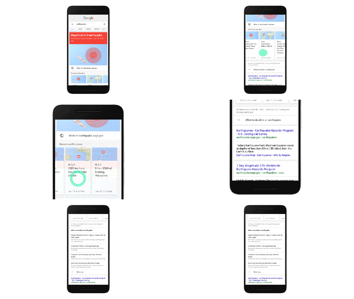
If you live anywhere near an earthquake zone (hello, San Francisco!), chances are you’ve occasionally wondered whether what you felt was an earthquake or just the rumbling of a heavy truck driving by (or whether it was a minor nearby earthquake or a big one farther away). Starting today, you can simply use Google (desktop and mobile) and search for ‘earthquake’ or ‘earthquake near me’ and find out what’s going on.
Google, in cooperation with the U.S. Geological Survey, today added detailed earthquake data to its search results. Searching for ‘earthquake’ will now bring up a map of recent earthquakes with basic information about them (think intensities, epicenter, etc.). In addition, the new earthquake widget on the search results page will display useful tips for what to do after an earthquake strikes (if it’s a big one, though, chances are googling for ‘earthquake’ won’t be at the top of your to-do list, so better get that info now).
“Ensuring that our earthquake information gets to the people who need it is very important to the U.S. Geological Survey, and we are pleased that Google is finding creative approaches to help make that happen,” said USGS Earthquake Hazards Program Coordinator Dr. William Leith, in a statement today.
A Google spokesperson tells me that the company can typically display the data it gets from the USGS within seconds. When an earthquake in California happens, the USGS typically makes its data available within minutes. In other parts of the world, though, it can take up to 30 minutes for the agency to check its data and make it public.
Google’s earthquake coverage — just like that of the USGS — is global, though for now only searches in English will trigger this new feature.
