Alaska is home to one of the toughest endurance events in the world: the Iditarod — a 1000+ mile dog sled race across the vast wilderness that is the U.S.’s northernmost state. Most of us will never get to see this race in person (or participate in it), but you can now experience a part of the race with the help of Google Street View.
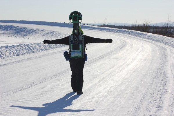
Last year, Google put its Street View Trekker on a sled driven by 1984 Iditarod winner Dean Osmar. Things didn’t always go according to plan, though. Google says the sled crashed three times, but sources with knowledge of the situation tell me that the hand you can see in the image below is still attached to a body.
The weather also wasn’t ideal, so the race organizers had to move the first leg from its traditional starting point in Anchorage to Fairbanks, though the 2015 race still included a slushy 11-mile track around Anchorage.
After tackling some rather obvious projects, Google’s Street View team has recently stepped up its game. The company launched imagery of the world’s largest model railroad a few months ago, for example, as well as imagery from Mont Blanc and Yosemite’s El Capitan.
[gallery ids="1285901,1285903,1285904"]