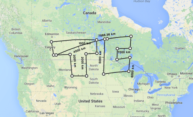
Google Maps just released a small, useful update for its Maps desktop product (via TNW). On the web, you can now right-click on any map and select “Measure Distance” to start charting a path and adding points, with Google offering up distances for each of the segments you create. It’s a handy way to find out approximately how far you’ll be travelling for a backwoods hike or bike ride, and a great way to draw stupid things with simple vectors.
Bonus effect: Using the new tool, I discovered that it takes 4,901.60 miles to draw the TechCrunch logo across North America with a laser from space. That will come in handy when they ask me how much laser fuel they need to use with the moon-mounted laser cannon for our corporate branding push in 2048.