CityMaps, a mapping startup that picked up $2.5 million last year to offer “social mapping,” has been down a long and winding road. Founded in 2012 by an urban planner and a former financial product manager, the company began by mapping New York and adding SoLoMo tags to various locations based on popularity and friend recommendations.
“Our old map was quickly named the official map of New York City by its department of tourism, selected to power 35,000 TaxiTVs worldwide, and named a ‘breakout company’ by Goldman Sachs,” said Lindsay Kaplan, the company’s marketing manager. They didn’t stop there.
From these auspicious beginnings the team, led by Elliot Cohen and Aaron Rudenstine, began working on a global version of the app for iOS. They released it last week free on the App Store.
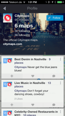
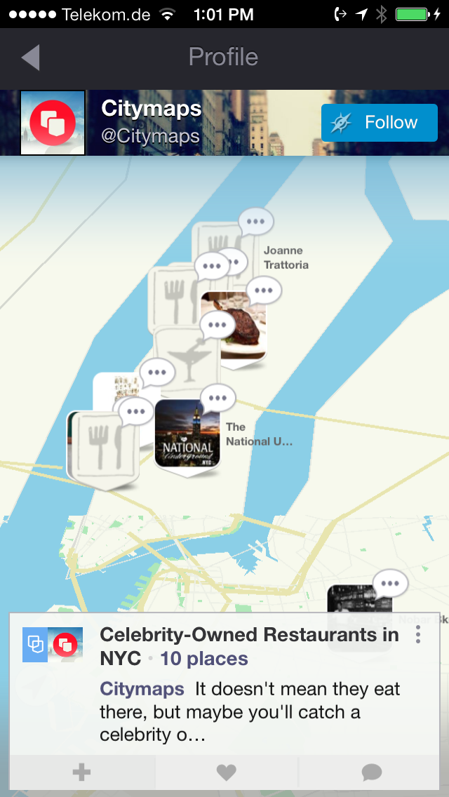
The new version allows you to create your own maps anywhere in the world – think of them like locative playlists – and then share those with friends. For example, the @citymaps account on the app has lists for the best jeans in Nashville (Osh Kosh B’gosh, duh!), best celebrity-owned restaurants, and a list of the best food carts in Portland (abridged). The app is also populated with maps by companies like Barnes & Noble and Equinox fitness, in case you want some marketing with your recommendations.
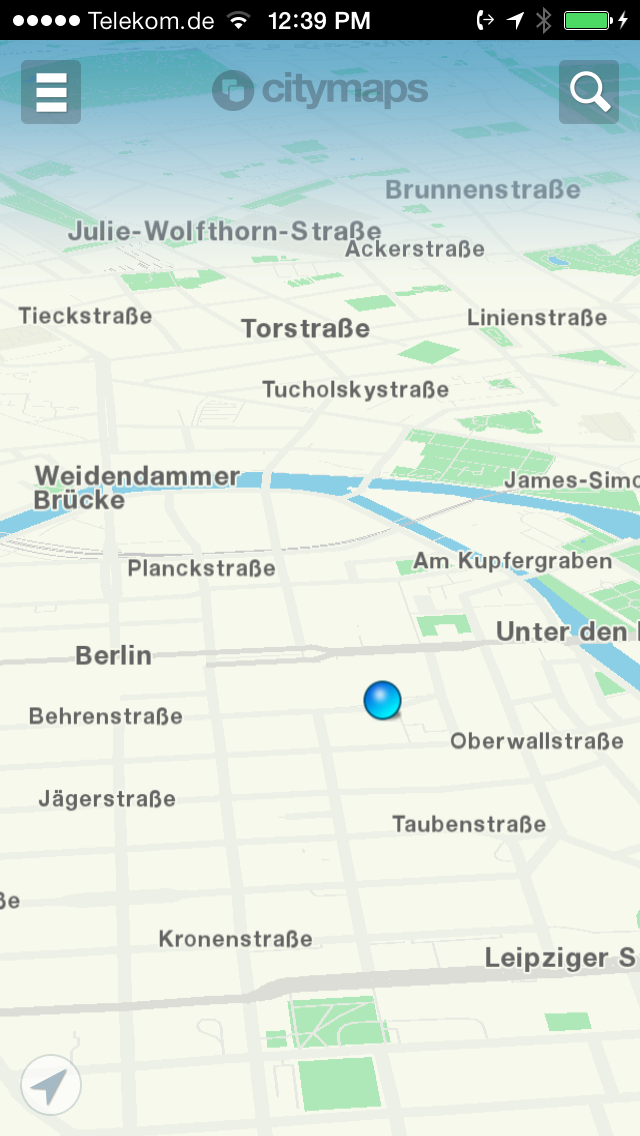
Luckily the maps are actually quite beautiful. Rendered in a delicate blue and tan color scheme and nicely parallaxed, they are reminiscent of a better Google Maps.
“Citymaps is a new global map platform built with mapmaking at its core,” said Kaplan. “Our mapping technology is on par with Google Maps and Apple Maps. We’ve built a proprietary, global vector map from scratch, featuring 15 million business locations that stream into the map with logos.”
“Citymaps features the standard navigational utilities found in Google maps, but our focus is on personalization, discovery, and mapmaking.”
The real value comes in being able to create maps for your friends from out-of-town. You can also use the system to plan your own trips to foreign climes. The maps are instantly shareable and you can plot routes for yourself or others. I could definitely see this as being useful for, say, tour guides or fashionistas who can share their favorite spots for bargain dresses and infinitesimally small meals.
“We believe no two people should see the same map,” Kaplan said.