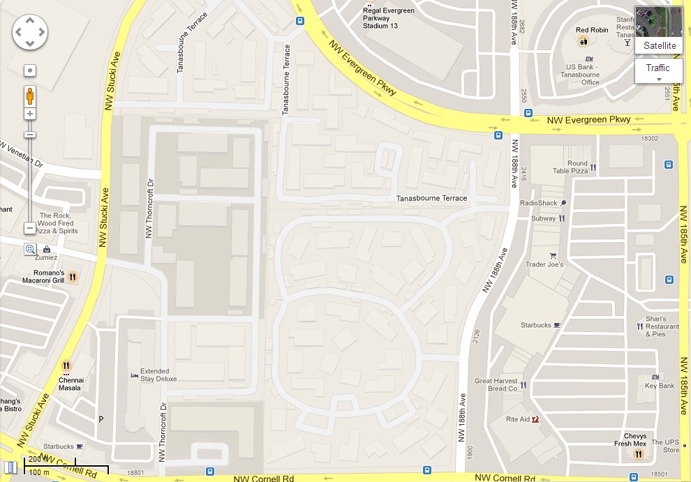
Google just announced that it has added 25 million new building footprints to Google Maps. Most of the company’s recent announcement around mapping had to do with flashy updates like 3D maps and buildings in Google Earth or thousands of miles of updated street view imagery. Today’s update stands out because of the large number of footprints the company is adding. Among the areas included in this update are a number of major U.S. cities, including Houston, Los Angeles, Chicago, Miami and the San Francisco Bay Area, but chances are you will notice changes all across the U.S.
How was Google able to suddenly add this massive amount of new data to Google Maps? According to the announcement, the company is using aerial imagery and computer vision techniques to determine the shapes and heights of these buildings. “This process,” says Google, “enables us to provide more building footprints and a more comprehensive and detailed map than ever before.” The same aerial photography Google uses to render these footprints is, of course, also the basis of Google’s 3D maps and it’s probably no surprise that all of the cities Google is highlighting in this release are also included in its 3D maps.
Despite the fact that most of these shapes were created algorithmically, Google also continues to give its users the option to submit corrections through Google Map Maker.

