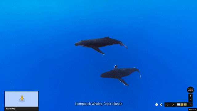
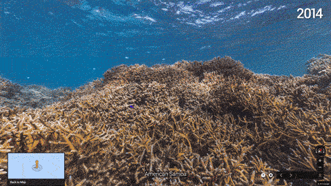
Google launched a new batch of regular and underwater Street View imagery today that lets you swim with humpback whales off the Cook Islands, dive with parrot fish off the coast of Bali, or walk on a beach in American Samoa. In total, the company added more than 40 new Street View locations with this update — one of the biggest releases of new underwater imagery since the company first launched this project in 2012.
As usual, the Google’s Street View team partnered with the Catlin Seaview Survey to create much of the underwater imagery, but this time around, Google also worked with NOAA’s Office of National Marine Sanctuaries and the Chagos Conversation Trust on this project.
 The hope here, a Google spokesperson told us, is to inspire people to learn more about the ocean. “Despite the ocean’s vital importance, the ocean is changing at a rapid rate due to climate change, pollution, and overfishing, making it one of the most serious environmental issues we face today,” a Google spokesperson told us. “Google is committed to exploring and preserving the ocean by creating new technologies to help document the state of the ocean today and how it changes in years to come.”
The company also today announced that it is now expanding its underwater Street View program through partnerships with a select group of new partners, including NOAA, Reef Check, Blue Ventures, the Our World Underwater Scholarship Society, and GUE’s Project Baseline.