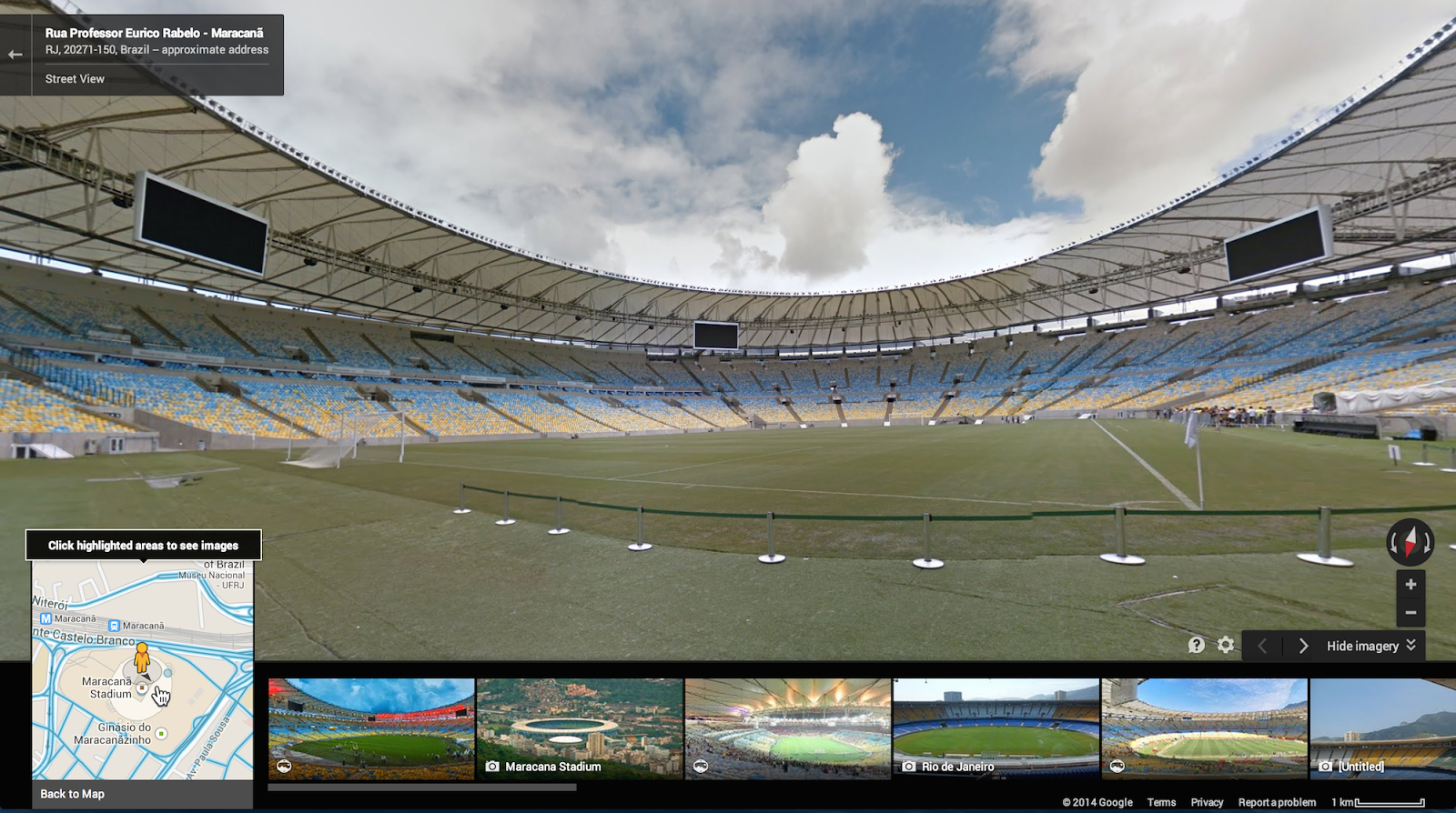
The first game of the 2014 soccer football World Cup in Brazil is scheduled to kick off a week from now and — in what’s slowly becoming a tradition around major sports events — Google today released Street View imagery of all 12 World Cup stadiums.
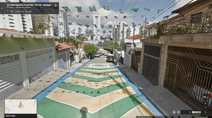
In addition to the stadiums themselves, Google also took its cameras to the areas around the venues, as well as numerous other sites in the country. These include the likes of the Iguaçu National Park and St. Michael of the Missions.
Google says that with this update, Street View in Brazil now also features images from “hundreds of interesting sites across Brazil.” In addition, the team today released new imagery from other South and Central American countries, including Peru, Chile, Colombia and Mexico.
Google, of course, is continuously adding new imagery to Street View and over the years, it’s launched images of numerous stadiums, too.
This time around, the company says that it hopes to create something akin to a “digital legacy of the 2014 tournament for years to come” by creating these images of the World Cup stadiums and the streets around it. That seems like a bit much, given how many photos and videos people will take of these venues in the next few weeks, but for those of us who will be watching the games on TV, the images will at least give us some sense of their scale. Then, in four years, Google will surely return and take images of all the Olympic venues in Brazil, too, but maybe by that time, we’ll all be wearing our VR helmets to experience them.