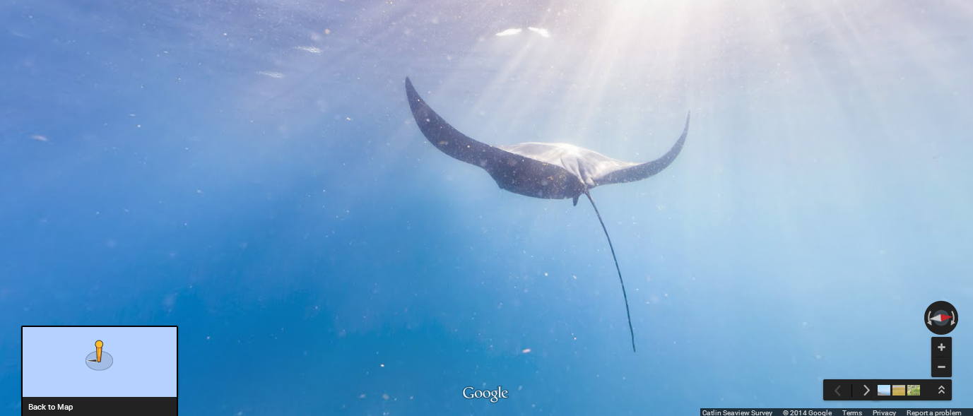
Google today added a couple of new locations to its underwater Street View imagery collection, including a number spots around Monaco, Cancun and Isla Mujeres.
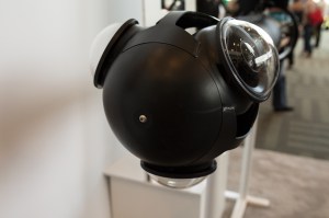
Google unveiled underwater Street View back in 2012 and has been expanding it (very) slowly ever since. The company has partnered with the Catalin Seaview Survey on this project and uses a number of special underwater cameras to capture the panoramic images its uses for this project.
 By last summer, the collection featured six locations, including reefs around Australia’s Great Barrier Reef, the Philippines and Hawaii. It also now features locations off the coast of Bermuda, though one of the more ambitious projects for Street View was surely the addition of the Galapagos Islands last May.
During a presentation at its I/O developer conference last year, Google explained that the divers typically cover about 2 kilometers and take between 3,000 and 4,000 images per dive during their expeditions. The team does about three dives per day, each of which lasts for about an hour. At the time, Google also said it would ramp up its efforts to bring more underwater imagery to Street View. The focus for now, it seems, is on the Americas, but the plan is to bring imagery from all the world’s oceans to Street View over the next few years.
Another new addition to Street View, by the way, is the shoreline of San Francisco as seen from the water. To map this, Google put its trekker camera on top of Marine Advanced Research’s autonomous WAM-V USV robot. It’s not quite underwater imagery, but it’s pretty cool nevertheless.
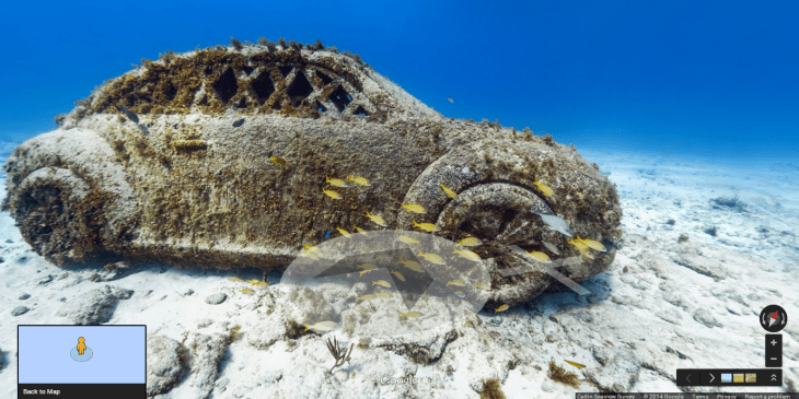
Here is the full list of new sites that went online today: Larvotto Marine Reserve, Monaco; Roche Saint Nicolas; Santa Rosa Wall, Cozumel, Mexico; Sian Ka’an, Mexico UNESCO World Heritage Site; Columbia Deep, Cozumel; Whale Sharks at Isla Contoy, Mexico; The Underwater Museum of Isla Mujeres, Mexico and the San Francisco Shoreline.