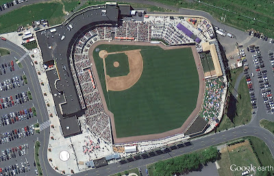
Google just announced that it is bringing its 45 degree imagery in Google Maps to 30 new cities, including Bloomington, IN; Buffalo, NY; Columbus, OH; Indianapolis, IN; Lincoln, NE; Louisville, KY and Rochester, MN. Outside of the U.S., 45 degree imagery is now available in a number of cities in France, including Bordeaux, Lille and Marseille, and two cities in Spain. Today’s update also brings new high-resolution aerial imagery to a number of cities in the U.S. and Europe and refreshed satellite imagery to more than 60 regions around the world.
You can find a full list of updated regions and cities here.
The 45 degree aerial imagery, of course, forms the basis of Google recently introduced 3D maps. Currently, these 3D maps are only available in a select number of cities, which, with the exception of Geneva and Rome, are all in the U.S. To expand this program, Google obviously needs to gather more 45 degree imagery around the world.
Today’s announcement also comes shortly before Apple is set to announce the launch of iOS 6, which will be the first to feature Apple’s own maps. Because of this, Google has been on a bit of a publicity campaign for its maps lately and, for example, just gave The Atlantic’s Alexis Madrigal an inside look at how labor intensive the process of creating accurate maps is. In total, Google told Madrigal, the company now processes more imagery data every two weeks than it did in all of 2006.
