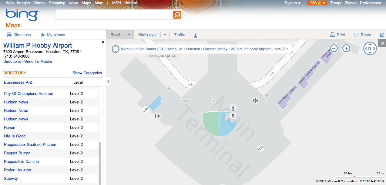
Microsoft’s search service Bing is today announcing the launch of airport maps for 42 major airports across the U.S., with plans to expand to other airports over time. The new feature is available now in Bing Maps on the desktop (some airport maps were previously available on mobile).
With this, you can see inside airports in order to locate terminals, check-in counters, restrooms, shops, restaurants, baggage claim areas, information desks and more.
You can find the new maps by searching for the airport name on Bing, the airport’s city or its code, or you can search for a flight number and click on the included “map” link. A link on the airport maps page also lets you send the map to your mobile device for later access.
The addition comes shortly after Google’s release of its new Google Flight Search feature, made possible through its acquisition of flight data company ITA – a move that Microsoft and others had fought. Flight and travel-related search had been one of Bing’s advantages, thanks to earlier integrations from travel price finder Farecast, acquired back in 2008.
Google offers its own airport maps (for example: my local airport here), but the maps are limited to airport layout in some cases, not what’s inside. For example, the interior of my airport shows just a couple of businesses, like Starbucks and car rental stations, but not check-in counters or restaurants. For larger airports, like LAX, Google may show a bit more data, but it’s still incomplete. However, with Google’s launch of Google Travel, it’s only a matter of time before Google’s own airport mapping offerings are filled out even more than they are today.
In addition, Google has been moving into the indoor mapping space, even going so far as to provide Street View shots inside businesses for Google Business Photos. That it would soon start providing a version of Street View for airports would not be surprising.

