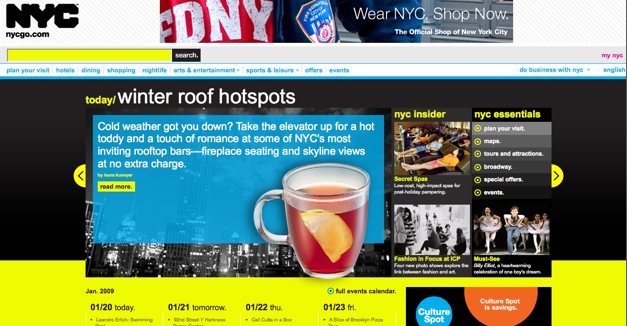
New York City has just launched a revamped webportal at NYCgo, which now offers an extensive database of events, restaurants, hotels, and other points of interest. All of these are tied into the Google Maps API, making it easier for visitors to quickly find things to do in their vicinity without having to hunt down their hotel’s concierge. The site will also include a listing of promotions and discounts, like the incredibly popular Restaurant Week, during which upscale restaurants offer meals at a flat (and heavily discounted) rate.
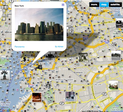
The city has also teamed with Google to create its new Information Center at 810 Seventh Avenue, which includes Surface-like map tables powered by the Google Maps API . Users will be able to browse through attractions and create travel plans which they can print on the spot, and can also apparently embed their travel itinerary into small tokens which they can use to virtually ‘fly’ through a rendered 3D version of New York City taken from Google Earth. For tech geeks this might be the first city where the visitor center is going to double as an attraction.
New York City isn’t the first city to go hi-tech – major cities like Washington DC and San Francisco also offer interactive maps and visitor guides.
For more details, check out the post from NYC Mayor Michael Bloomberg here.